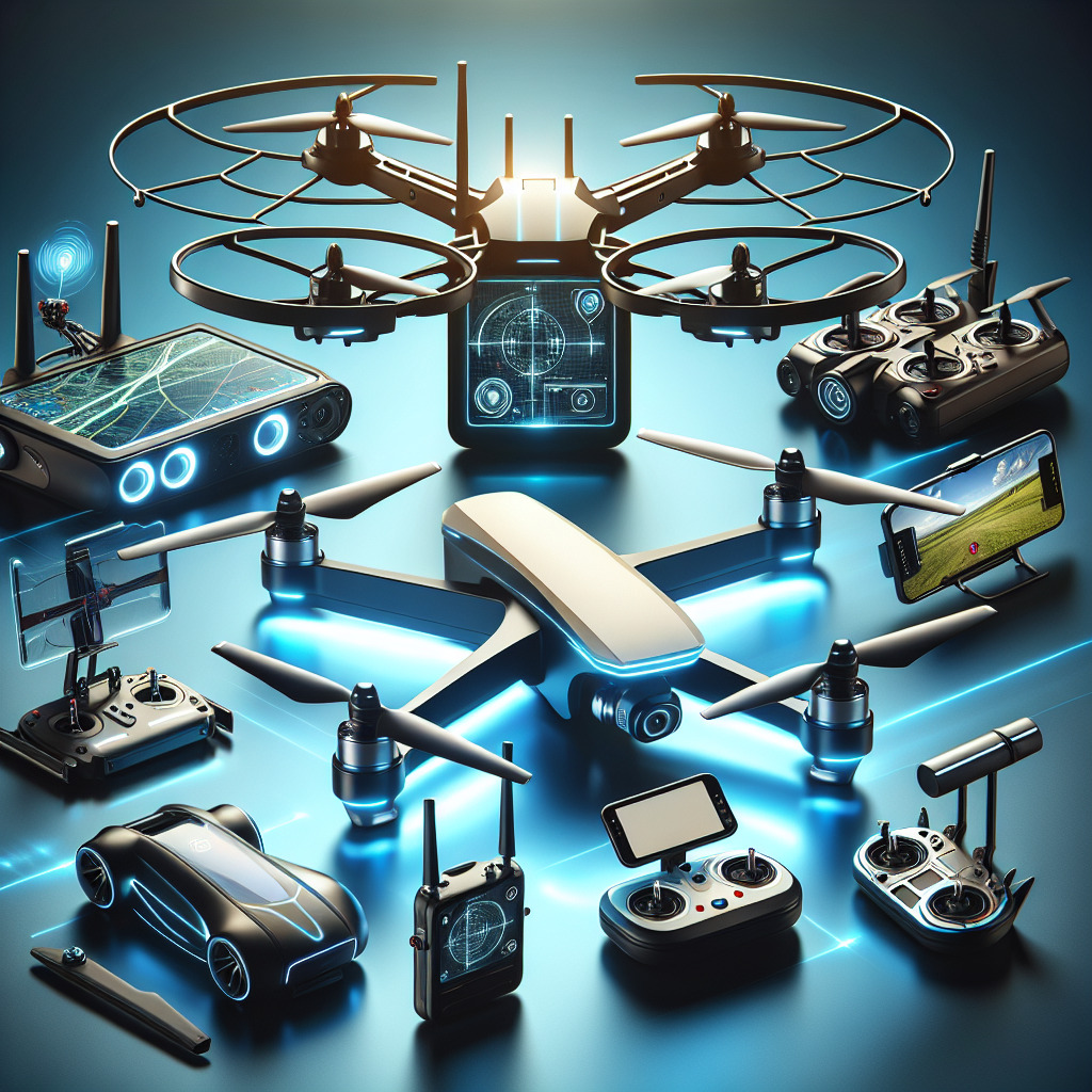
Did you know that drones equipped with GPS technology have revolutionized industries ranging from agriculture to filmmaking? Drones, also known as unmanned aerial vehicles (UAVs), have evolved significantly since their inception in the military sector. The incorporation of GPS technology has elevated their utility, allowing for precise navigation, stable flight paths, and advanced features such as geo-fencing and autonomous flight. Today, these drones are indispensable tools in various fields, providing unparalleled accuracy and ease of use.
The surge in popularity of drones with GPS capabilities can be traced back to the early 2010s. Initially utilized for tasks that were deemed too hazardous for humans, like surveying disaster-stricken areas or inspecting high-voltage power lines, the technological advances made these drones more accessible and efficient. Today’s drones come equipped with advanced GPS modules, which play a crucial role in elevating their functionality. This technological leap has made drones not only a luxury gadget for hobbyists but also an essential tool for professionals.
One remarkable application of GPS-enabled drones is in the agricultural sector, where they offer a technological solution to traditional farming challenges. These drones can survey vast tracts of land in a fraction of the time it would take on foot, providing precise data on crop health, soil conditions, and potential problem areas. For instance, a recent study found that the use of drones can increase farming efficiency by up to 75%, significantly boosting crop yields and minimizing resource wastage. GPS technology ensures these drones can follow pre-determined flight paths accurately, making data collection a breeze.
In the domain of cinematography, drones equipped with GPS have allowed filmmakers to capture stunning aerial shots that were once impossible or prohibitively expensive. With waypoints set via GPS, these drones can follow complex flight patterns, ensuring that the camera captures every angle flawlessly. This has democratized the field, enabling indie filmmakers to produce high-quality content without the need for expensive crane rigs or helicopters. The precision and reliability brought by GPS technology make these drones a favorite among professionals who demand consistency and high-quality results.
Outdoor enthusiasts and travelers also find GPS-enabled drones exceptionally useful. The ‘Return to Home’ feature, which brings the drone back to its takeoff point with the push of a button, adds a layer of security by minimizing the risk of losing the drone. Moreover, innovations such as automated flight logs and GPS tagging of aerial photos facilitate easy documentation and sharing of adventures. These features make these drones not only functional but also user-friendly, catering to both novices and experts in the field.

What Are the Best Drones with GPS in 2023?
When evaluating drones with GPS capabilities, individuals often look for enhanced navigational precision, advanced flight features, and safety assurances that come with these technologically-advanced devices. GPS-enabled drones offer numerous advantages such as automatic return-to-home, waypoint navigation, and improved stability, making them ideal for aerial photography, mapping, and other professional applications. In the next section, we will dive deeper into the top drones of 2023 that integrate this critical feature, and explore their unique offerings and specifications.
Best Drones with GPS
The rapid advancement of drone technology has greatly expanded the capabilities and functionalities of these aerial devices. One of the most significant features enhancing their performance is GPS integration. Drones with GPS systems are not only more stable but also provide features like accurate navigation, automated flight paths, and return-to-home functions.
DJI Mavic Air 2
The DJI Mavic Air 2 is renowned for its stellar combination of cutting-edge features and user-friendliness. This drone excels with a 48MP camera and a 1/2-inch CMOS sensor, making it a fantastic option for both photographers and videographers. The GPS capabilities offer precise hovering and waypoint programming for automated flight paths.
- 30-minute flight time
- 10 km 1080p video transmission
- Enhanced obstacle avoidance
Autel Robotics EVO Lite+
Autel Robotics EVO Lite+ stands out with its impressive 50MP camera and advanced AI features. GPS functionality allows it to maintain stable flight, even in challenging conditions. Additionally, it offers intelligent flight modes such as Orbit, Follow Me, and waypoint planning for intricate flight missions.
- 40-minute flight time
- 6K video resolution
- Dynamic Track 2.0 for improved subject tracking
Parrot Anafi
The Parrot Anafi remains a solid contender in the market, acclaimed for its lightweight design and portability without compromising on features. With its GPS abilities, the Anafi provides automated flight modes, including Follow Me and Geofence, making it an excellent choice for outdoor adventures.
- 25-minute flight time
- 4K HDR camera
- 180-degree tilt gimbal
Holy Stone HS100D
For those seeking a budget-friendly option without sacrificing essential GPS functionalities, the Holy Stone HS100D is a notable choice. Its GPS system offers features such as Auto Return, Follow Me, and customized flight paths, which are usually found in more expensive models.
- 18-minute flight time
- 2K FHD camera
- 120-degree wide-angle lens
Ruko F11 Pro
The Ruko F11 Pro offers excellent value for its price, featuring robust GPS functionality. It provides steady flight performance with its built-in GPS module, which includes intelligent flight options such as Tap Fly and Point of Interest. The 4K Ultra HD camera further elevates its appeal for aerial photography.
- 30-minute flight time
- 4K Ultra HD camera
- Level 6 wind resistance
Ryze Tello
The Ryze Tello, while not packed with high-end features, provides a good entry point into the world of GPS-enabled drones. With electronic image stabilization and a simplified control scheme, it offers a seamless flying experience for beginners.
- 13-minute flight time
- 5MP camera
- 720p HD transmission
According to a 2023 industry report, the global drone market is expected to grow at a compound annual growth rate (CAGR) of 13.8% from 2021 to 2028, emphasizing the increasing demand for GPS-integrated drones.
- What are the benefits of drones with GPS?
-
Drones with GPS offer precise navigation and positioning, enabling accurate flight paths, return-to-home features, geofencing, and advanced filming capabilities. They enhance safety and improve user experience, making them ideal for both recreational and professional use.
- How accurate is GPS on drones?
-
The accuracy of GPS on drones can vary but typically ranges within a few meters. High-end drones often use additional satellite systems such as GLONASS or Galileo to improve accuracy, sometimes achieving sub-meter precision.
- Can GPS be used for autonomous drone flights?
-
Yes, GPS can be used for autonomous drone flights. Drones equipped with GPS can follow pre-programmed routes, perform waypoint navigation, and execute automated flight missions without manual input.
- Do all drones come with GPS?
-
No, not all drones come with GPS. Entry-level and toy drones often lack this feature. However, most mid-range to high-end consumer and professional drones are equipped with GPS for improved navigation and functionality.
- What is the difference between GPS and GLONASS in drones?
-
GPS is the Global Positioning System operated by the United States, while GLONASS is the Russian equivalent. Many drones use both systems to enhance positioning accuracy and reliability, especially in challenging environments.
- How does GPS improve drone safety?
-
GPS enhances drone safety by enabling features like return-to-home, geofencing (which prevents drones from flying into restricted areas), and accurate location tracking. These features help avoid crashes and loss of drones.
- What should I do if my drone’s GPS signal is weak?
-
If your drone’s GPS signal is weak, try flying in an open area away from tall buildings, dense forests, or electronic interference. Ensure your drone’s GPS module and antenna are not obstructed and consider using satellite systems like GLONASS or Galileo if available.
- Can weather conditions affect GPS performance in drones?
-
Yes, weather conditions such as heavy rain, clouds, and solar interference can affect GPS performance. However, modern GPS systems in drones are designed to mitigate these impacts to maintain reliable navigation and positioning.
- Are there any regulations for flying drones with GPS?
-
Yes, there are regulations for flying drones with GPS. These regulations vary by country and often include restrictions on altitude, no-fly zones, and registration requirements. Always check local regulations before flying your drone.
- What features should I look for in a GPS drone?
-
-
Return-to-home functionality
-
Waypoint navigation
-
Advanced camera capabilities
-
Geofencing
-
Long battery life and range
-
Good customer support and software updates
-

Conclusion
In summary, the best drones with GPS offer unparalleled precision, stability, and convenience for both amateur and professional drone pilots. They come equipped with advanced features like real-time tracking, return-to-home functionality, autonomous flight modes, and geofencing, which collectively enhance the flying experience. Key models discussed include the DJI Mavic Air 2, known for its impressive camera quality and intelligent flight modes, and the Autel Robotics EVO II, which boasts extended battery life and robust obstacle avoidance systems. Each option provides unique capabilities that cater to specific needs, whether for capturing stunning aerial footage, performing complex mapping tasks, or simply enjoying recreational flying.
Moreover, the GPS technology embedded in these drones has revolutionized the way aerial tasks are performed. The emphasis on accuracy and reliability ensures that users can focus more on their creative or operational goals rather than worrying about manual control complexities and potential errors. By integrating GPS technology, these drones significantly reduce the likelihood of flyaways and crashes, providing a safer and more user-friendly experience. Ultimately, the advancement in GPS-enabled drones exemplifies the fusion of innovation and practicality, making them indispensable tools in various industries, from filmmaking and agriculture to search and rescue operations.
Author
admin@dronerzone.guru
Related posts
Professional drones for videography
In recent years, professional drones have revolutionized the field of videography, capable of capturing high-resolution footage from angles previously unimaginable. Originally emerging...
Read out all
Best drones for fishing
Today, fishing enthusiasts are turning to drones to enhance their fishing experiences with unparalleled precision and efficiency. Drones designed specifically for fishing...
Read out all
Drone footage tips
Did you know that the global market value of drones is expected to reach $43 billion by 2024? The rise of drone...
Read out all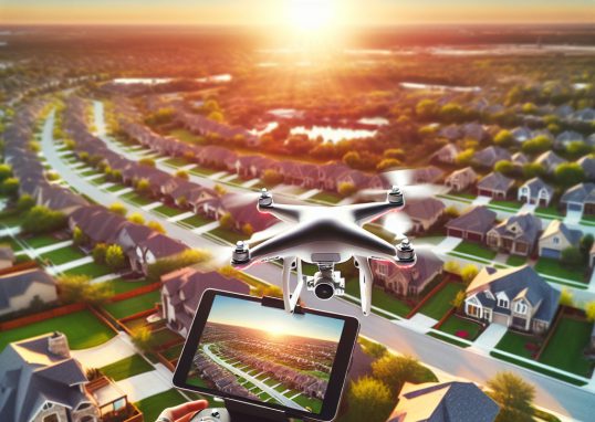
Drones for real estate photography
Drones, also known as unmanned aerial vehicles (UAVs), have revolutionized various industries, and real estate photography is no exception. Initially developed for...
Read out all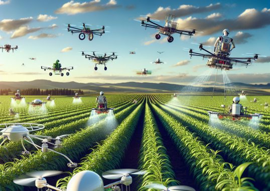
Drones for agriculture
Drones, also known as Unmanned Aerial Vehicles (UAVs), have revolutionized modern agriculture, boasting a significant impact on farming efficiency and crop management....
Read out all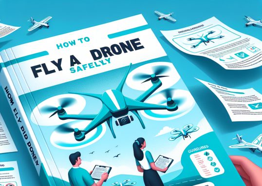
How to fly a drone safely
Did you know that the Federal Aviation Administration (FAA) reported over 1.3 million registered drones in the United States as of 2021?...
Read out all