Did you know that the market for drone aerial mapping services is expected to reach $2.5 billion by 2028? Drone technology, initially developed for military use, has seen rapid adoption in various civilian sectors, transforming industries such as agriculture, construction, and environmental monitoring. Over the last decade, advancements in drone technology and mapping software have democratized access to high-quality geographical data, making it indispensable for both large corporations and small businesses alike.
Drone aerial mapping services offer an efficient and cost-effective solution for generating precise topographical maps. Unlike traditional methods, which often involve extensive manual labor and higher costs, drones can quickly capture vast areas with high-resolution imagery. For instance, in agriculture, farmers use drone maps to monitor crop health, optimize irrigation, and increase yield, addressing the critical need for sustainable farming practices.
Furthermore, the construction industry benefits immensely from drone aerial mapping. Real-time data collection through drones provides accurate site surveys, monitors construction progress, and ensures safety compliance. This facilitates better project management and reduces the time and resources spent on manual inspections. According to a report, companies that integrate drone mapping into their workflow can cut survey costs by up to 50%, showcasing the technology’s potential for significant economic impact.
Environmental monitoring is another area where drone aerial mapping has proven invaluable. Drones can access hard-to-reach areas, making it easier to track deforestation, wildlife habitats, and natural disasters. This capability is crucial for environmental conservation efforts, allowing organizations to act swiftly and effectively. The ability to gather real-time data enables better decision-making and timely interventions, mitigating environmental risks and preserving natural resources.
“`html
What Are the Benefits of Drone Aerial Mapping Services?
“`
Drone aerial mapping services utilize cutting-edge drone technology to capture high-resolution images and data over a specific area, providing detailed and accurate maps for various applications. These services are particularly advantageous for industries such as agriculture, construction, real estate, and environmental monitoring due to their ability to deliver fast, cost-effective, and precise geographical information. Besides offering a bird’s-eye view that is unrivaled by traditional mapping methods, drones can also access hard-to-reach or hazardous areas safely. This technology supports comprehensive site analysis, progress tracking, and efficient resource management, paving the way for enhanced decision-making. To fully explore how drone aerial mapping services can revolutionize your operations, let’s dive into the various applications, techniques, and benefits in the next sections.
Understanding Drone Aerial Mapping Services
Drone aerial mapping services leverage unmanned aerial vehicles (UAVs) equipped with high-resolution cameras and sensors to capture detailed imagery and data from a bird’s-eye view. These services have revolutionized industries such as agriculture, construction, real estate, and environmental monitoring by providing precise, real-time data.
Key Applications of Drone Aerial Mapping Services
- Agriculture: Farmers use drone aerial mapping to monitor crop health, soil conditions, and irrigation systems. The data obtained helps optimize crop yields and pinpoint areas needing attention.
- Construction: Drones provide detailed topographical maps and 3D models, assisting in planning, monitoring, and managing construction projects more efficiently.
- Real Estate: Real estate professionals utilize drone imagery to create compelling property listings, showcasing homes and commercial properties from unique angles.
- Environmental Monitoring: Drones help track changes in ecosystems, survey wildlife habitats, and monitor deforestation or any environmental changes over time.
Key Technologies in Drone Aerial Mapping Services
Drone aerial mapping services utilize several advanced technologies:
- GPS and GNSS: These systems provide precise location data essential for accurate mapping and georeferencing.
- LiDAR: Light Detection and Ranging (LiDAR) sensors emit laser pulses to measure distances and generate high-resolution 3D maps of terrain and structures.
- Multispectral and RGB Cameras: High-resolution cameras capture detailed images in various spectrums, allowing for comprehensive analysis of the mapped areas.
- Photogrammetry Software: This software processes images captured by drones to create 2D and 3D models, orthomosaics, and topographical maps.
Regulations Governing Drone Aerial Mapping Services
Operating drone aerial mapping services requires adherence to national and international regulations:
- FAA Regulations (USA): Operators must comply with Part 107 rules, including obtaining a Remote Pilot Certificate, maintaining line-of-sight, and flying below 400 feet.
- EASA Regulations (Europe): The European Union Aviation Safety Agency sets guidelines for drone operations, including risk assessments and safety protocols.
- Local Laws: Various countries have their regulations concerning privacy, airspace usage, and licensing requirements for drone operators.
Benefits of Drone Aerial Mapping Services
- Cost-Effective: Drones reduce the need for manned aircraft or ground-based surveys, saving both time and money.
- Efficiency: Drones can quickly cover large areas and access hard-to-reach places, providing data faster than traditional methods.
- Accuracy: With advanced sensors and precise GPS systems, drones deliver highly accurate data crucial for analysis and decision-making.
- Versatility: Drones can be equipped with various sensors and cameras, making them suitable for diverse applications and industries.
In 2023, the global market for drone aerial mapping services was projected to reach $5 billion, driven by advancements in technology and increasing demand across multiple sectors.
What is Drone Aerial Mapping?
Drone aerial mapping involves using drones equipped with high-resolution cameras and sensors to capture detailed aerial imagery and data of large areas. This data is then processed to create accurate maps, models, and reports.
What are the benefits of drone aerial mapping compared to traditional methods?
Drone aerial mapping offers several benefits over traditional methods, including:
- Faster data acquisition and processing
- High-resolution imagery and accurate data
- Cost-effective compared to manned aerial surveys
- Access to difficult or hazardous areas without risking human safety
What industries can benefit from drone aerial mapping services?
Industries that can benefit from drone aerial mapping include:
- Agriculture
- Construction
- Mining
- Real estate
- Environmental monitoring
- Forestry
How accurate is the data collected by drones?
The accuracy of the data collected by drones can vary depending on the equipment and software used. Typically, drone aerial mapping can achieve centimeter-level accuracy, especially when using ground control points (GCPs) to further enhance precision.
What type of data can drones capture?
Drones can capture a variety of data types, including:
- 2D orthomosaic maps
- 3D models and point clouds
- Digital elevation models (DEMs)
- Multispectral and thermal imagery
How long does it take to complete a drone aerial mapping project?
The duration of a drone aerial mapping project depends on the size of the area being mapped and the complexity of the terrain. Generally, data collection can be completed within a few hours to a few days, with subsequent data processing taking additional time.
Do you need special permission to conduct drone aerial mapping?
Yes, there are regulations that govern the use of drones for aerial mapping. Operators typically need to obtain permission from aviation authorities and ensure that they comply with local laws and regulations regarding drone usage.
What is the cost of drone aerial mapping services?
The cost of drone aerial mapping services can vary widely based on factors such as the size of the area being surveyed, the type of data required, and the complexity of the project. It’s best to get a customized quote based on your specific needs.
What equipment is used in drone aerial mapping?
Drone aerial mapping typically uses drones equipped with high-resolution cameras, GPS units, and various sensors such as LiDAR, multispectral, and thermal cameras to capture detailed data from the air.
Can drone aerial mapping be performed in any weather conditions?
Weather conditions can greatly impact the quality of data collected by drones. Ideal conditions are clear skies with minimal wind. Poor weather conditions like heavy rain, strong winds, or fog can hinder flight safety and data accuracy.
Conclusion
Drone aerial mapping services have revolutionized various industries by providing high-precision, cost-effective, and time-efficient solutions for data collection and analysis. These services offer unparalleled advantages such as rapid deployment, access to hard-to-reach areas, and the ability to capture high-resolution imagery and detailed 3D models. By leveraging advanced technologies like GPS, LiDAR, and sophisticated mapping software, drones can deliver accurate, real-time data that enhances decision-making processes in fields such as agriculture, construction, environmental monitoring, and disaster management.
Moreover, the integration of AI and machine learning with drone aerial mapping further amplifies its capabilities, enabling automated data processing and insightful analytics. This streamlines workflows and reduces the potential for human error. Regulatory advancements and improvements in drone technology are also paving the way for broader adoption and innovation within this sector. As industries continue to recognize the value of precise geospatial data, drone aerial mapping services are set to play a critical role in the efficient management and optimization of both natural and built environments.
Author
admin@dronerzone.guru
Related posts
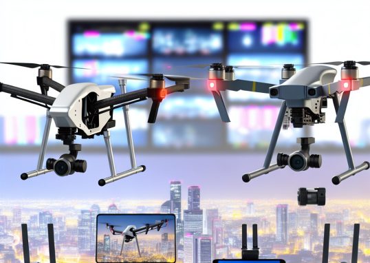
Professional drones for videography
In recent years, professional drones have revolutionized the field of videography, capable of capturing high-resolution footage from angles previously unimaginable. Originally emerging...
Read out all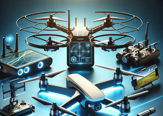
Best drones with GPS
Did you know that drones equipped with GPS technology have revolutionized industries ranging from agriculture to filmmaking? Drones, also known as unmanned...
Read out all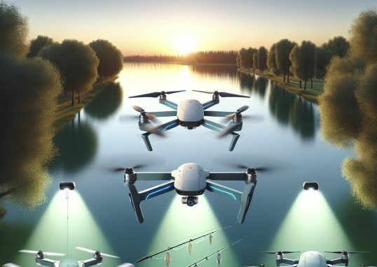
Best drones for fishing
Today, fishing enthusiasts are turning to drones to enhance their fishing experiences with unparalleled precision and efficiency. Drones designed specifically for fishing...
Read out all
Drone footage tips
Did you know that the global market value of drones is expected to reach $43 billion by 2024? The rise of drone...
Read out all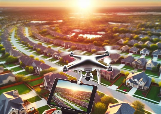
Drones for real estate photography
Drones, also known as unmanned aerial vehicles (UAVs), have revolutionized various industries, and real estate photography is no exception. Initially developed for...
Read out all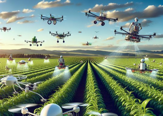
Drones for agriculture
Drones, also known as Unmanned Aerial Vehicles (UAVs), have revolutionized modern agriculture, boasting a significant impact on farming efficiency and crop management....
Read out all